Service 04
Spatial Intelligence for Decision Support
We Help Clients See What Cannot Be Observed From The Ground.
“What is happening across agricultural landscapes and what actions are required?”
Under This Service
What This Includes
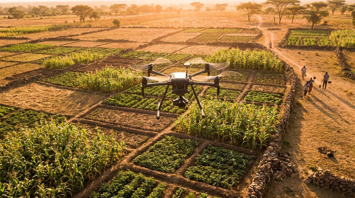
- Satellite and aerial land-use mapping
- Field boundary and land-cover analysis
- Change detection over time: expansion, degradation, deforestation
- Custom GIS layers for internal planning tools